86,893
square kilometres
135,656
Population
(ABS 2022–23)
(ABS 2022–23)


LGAs
Albury, Balranald, Berrigan, Edward River, Federation, Greater Hume, Murray River, Wentworth, Snowy Valleys (part of).
Albury, Balranald, Berrigan, Edward River, Federation, Greater Hume, Murray River, Wentworth, Snowy Valleys (part of).


Major Towns
Albury, Moama, Deniliquin, Corowa, Tumut, Berrigan, Holbrook, Culcaim, Balranald, Wentworth
Albury, Moama, Deniliquin, Corowa, Tumut, Berrigan, Holbrook, Culcaim, Balranald, Wentworth
Major Industries
Agriculture, forestry, fishing, manufacturing, health care and social assistance, construction, tourism, retail trade, hospitality, education and training, supply chain and transportation, renewables.
Agriculture, forestry, fishing, manufacturing, health care and social assistance, construction, tourism, retail trade, hospitality, education and training, supply chain and transportation, renewables.

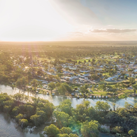
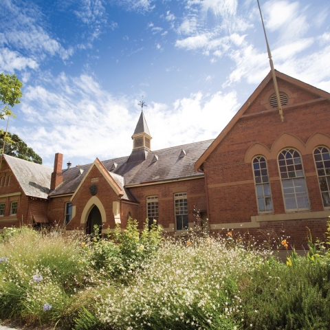
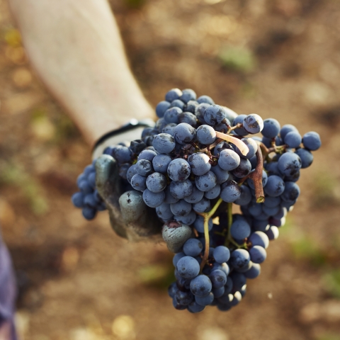
Photos courtesy Destination NSW and Destination Riverina Murray.


